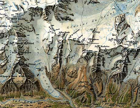
His maps became famous for their vivid terrain visualisation and their rock drawings. One of his masterpieces is the relief map “La Chaine du Mont Blanc” (the Mont Blanc chain), the other one is the plan oblique map “Reliefkarte der Centralschweiz”.

“La Chaine du Mont Blanc” (detail) by Xaver Imfeld, original scale 1:50,000, 1896.
Further Resources
- Terrain Models by Xaver Imfeld
- www.xaverimfeld.ch (in German)
- MapCarte 182/365: Reliefkarte der Centralschweiz by Xaver Imfeld, 1887. Blog entry by Kenneth Field, 2014